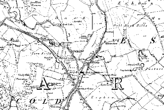
| Malham, Mallam, Malum, Maulm, Mawm, Malam, Mallum, Moor, Moore, More, Kirkby, Kirby, Mallamdale, Mallumdale, Malhamdale, Malham-Dale, Kirkby-in-Malham-Dale, Kirkby-Malham-Dale, Kirby-in-Malham-Dale, Kirby-Malham-Dale, Hanlith, Hanlyth, Scosthrop, Scosthorpe, Skosthrop, Airton, Ayrton, Airtown, Calton, Carlton, Craven, Yorkshire, Otterburn, Otter Burn, Bellbusk, Bell Busk, Conistone, Family, Genealogy, Geneology, Buildings, People, Maps, Census, Scawthorpe, Scothorpe, |

Cold, Coniston Cold, Bordley, Bordly, Boardly, Boardley, Winterburn, Winter Burn, History, Local, ancestors, ancestry, Scorthorp, Wills, Tax, Eshton, Asheton |

 .
.